Current Projects
AIRS (Avionics Integrated under Reconfigurable Software)
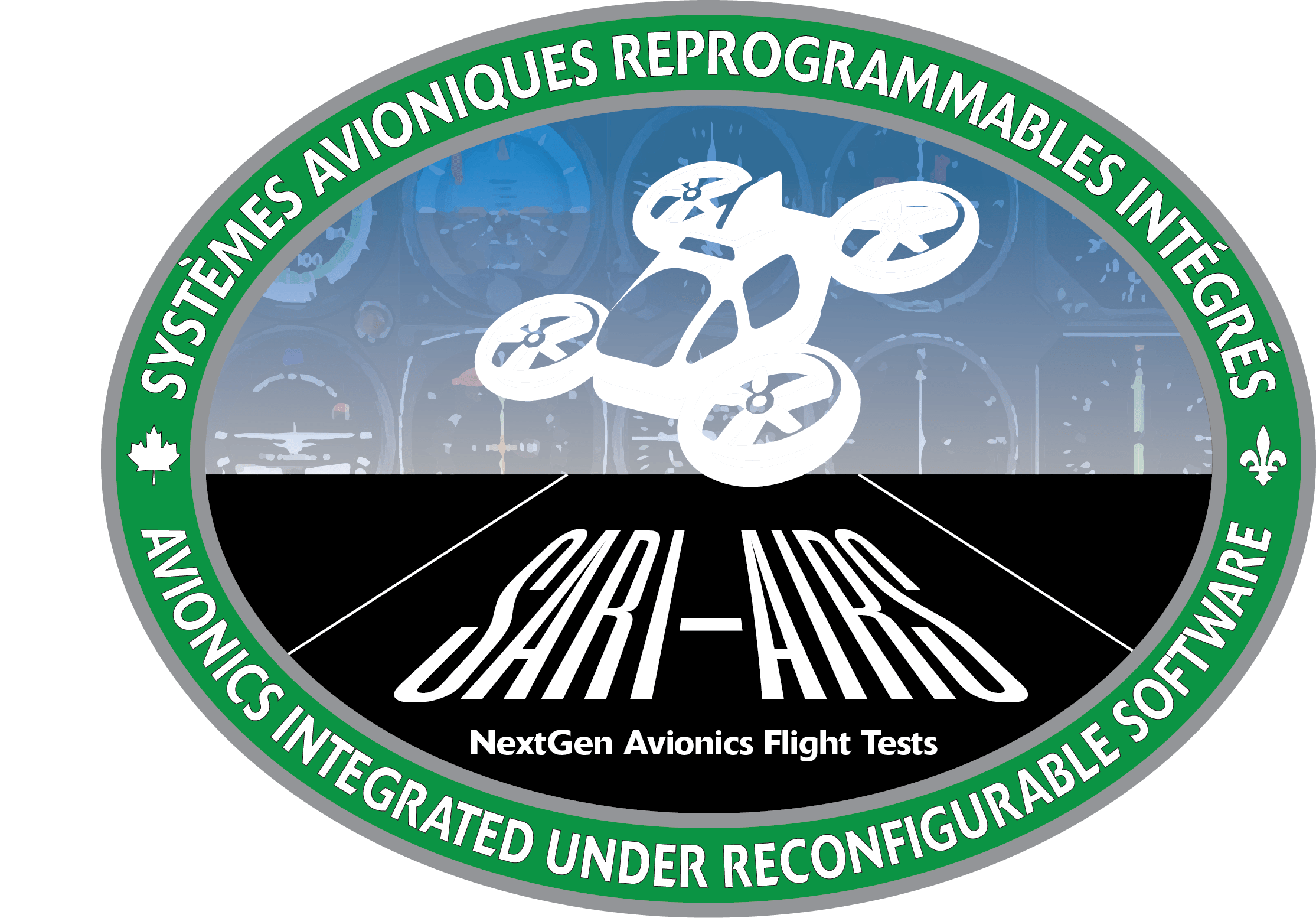
Our project aims to develop an innovative software radio capable of integrating multiple avionic radios of Communication, Navigation, and Surveillance, including a digital radio-altimeter into a single platform, in response to the need for reduced SWaP-C (Size, Weight, Power, and Cost), while enhancing the performance and safety of new autonomous air transport applications and the electric vehicles of the future. The scientific outcomes of this research consist of testing a new method of design and validation of avionic systems, which also helps reduce certification phases and optimize their applications. The parallel processing of avionic functions in several processors will be dissociated thanks to SysGo’s PikeOS operating system. Moreover, the avionic solution will allow the integration of advanced fusion algorithms and artificial intelligence in such a way that the designed systems will ensure a better estimation of critical parameters during air operations. This collaboration with our renowned partners, Thales and ACSS, leaders in the avionic industry, ensures the relevance and impact of our work.
Researchers: René Jr Landry (ÉTS Lead), Jean-Marc Gagné (ÉTS, Project Manager)
Beginning date:1 October 2023
Project duration :1 year
Partners:


Apply now
If you wish to join us in this project click on the button bellow
Permanent Navigation and Surveillance for Autonomous Airborne and Ground Vehicles (NESIVA)

The research work in avionics and Software-Defined Radio (SDR) conducted by the Laboratory of Space Technologies, Embedded Systems, Navigation, and Avionics (LASSENA) at ÉTS has identified a highly promising technology for positioning and obstacle detection (surveillance) through the exploitation of Signals of Opportunity (SoOP). Specifically, signals emitted by Low Earth Orbit (LEO) satellites, whose number is exponentially growing worldwide, as well as by 3G through 6G transmitters, can be used to provide Positioning, Navigation, and Timing (PNT) resilient data, as well as mobile obstacle/intruder detection (PNT-D) data, which are essential for autonomous aerial (UAM, drones, aircraft, helicopters, etc.) and ground vehicles (cars, trucks, buses, trains, etc.). Although other systems, such as GNSS and inertial sensors provide positioning data, and LIDAR/RADAR provide detection data, SoOP will provide alternative and dissimilar PNT-D information that will be indispensable to reach the level of integrity and availability required for autonomous transportation. It is to be noted that SoOP is a passive and non-cooperative technology which can provides the required resilience (backup and robustness) in the event of cyber-attacks on current systems. Only a few research centers have published their work on SoOP, and the door is open for Quebec to take a worldwide leadership in this disruptive technology that may become a standard by the end of our decade.
Researchers: René Jr Landry (ÉTS Lead), Jean-Marc Gagné (ÉTS, Project Manager)
Beginning date: 3 January 2023
Project duration :3 years
Partners :

Apply now
If you wish to join us in this project click on the button bellow
Automatized deck landing for a double rotors helicopter UAV

The prime objective of this research would be to conduct autonomous precision landing of an Unmanned Autonomous Vehicle (UAV) on mobile platforms including maritime platform and military vessel helipad. The developed system will be used on LX300, a real and considerable dimensions twin-rotor unmanned helicopter, manufactured by Laflamme Aero and with the goal of maritime surveillance. This UAV will navigate in area where there are no navigation beacons and will only be able to use satellite systems. However, maritime decks are small and can’t handle traditional beacon system because of their structure and are subject to the strong swell which cause big attitude changes. Hence, this matter necessitates better alternatives to get a better accuracy than a GNSS system, and the synchronization of the drone and the platform to get a soft, accurate and safe landing for both the drone and the platform.
To materialize this goal, two parallel systems will be developed to compute the relative distance and the relative attitude between the drone and the platform:
– The first consists of a robust system of tracking the position of the drone in relation to the platform, calculating the range and synchronizing attitude by communicating between two little sized modules, one on the platform and the other on the drone. A GPS/Real Time Kinematic (RTK) system will be used for relative position and a relative IMU/AHRS system to synchronise attitudes.
– The second method is to use a lightweight vision system along with four rangefinders. The First phase would be detection of the landing zone from a certain distance. Then, the trajectory will be built, and the control action will be computed. In succeeding stage, the camera will keep the rotorcraft oriented with ship landing deck and simultaneously the rangefinders will model the attitude of the landing zone. Lastly, the most optimized and safe time will be calculated, and the final alighting task will be conducted.
Finally, to approach a more effective system these sensors data will be fused, using filters like extended Kalman filter and unscented Kalman filters.
Partners:


Apply now
If you wish to join us in this project click on the button bellow
Universal Software Defined Avionic Receiver (SDAR) for Robust and Resilient Positioning, Navigation and Timing (PNT)
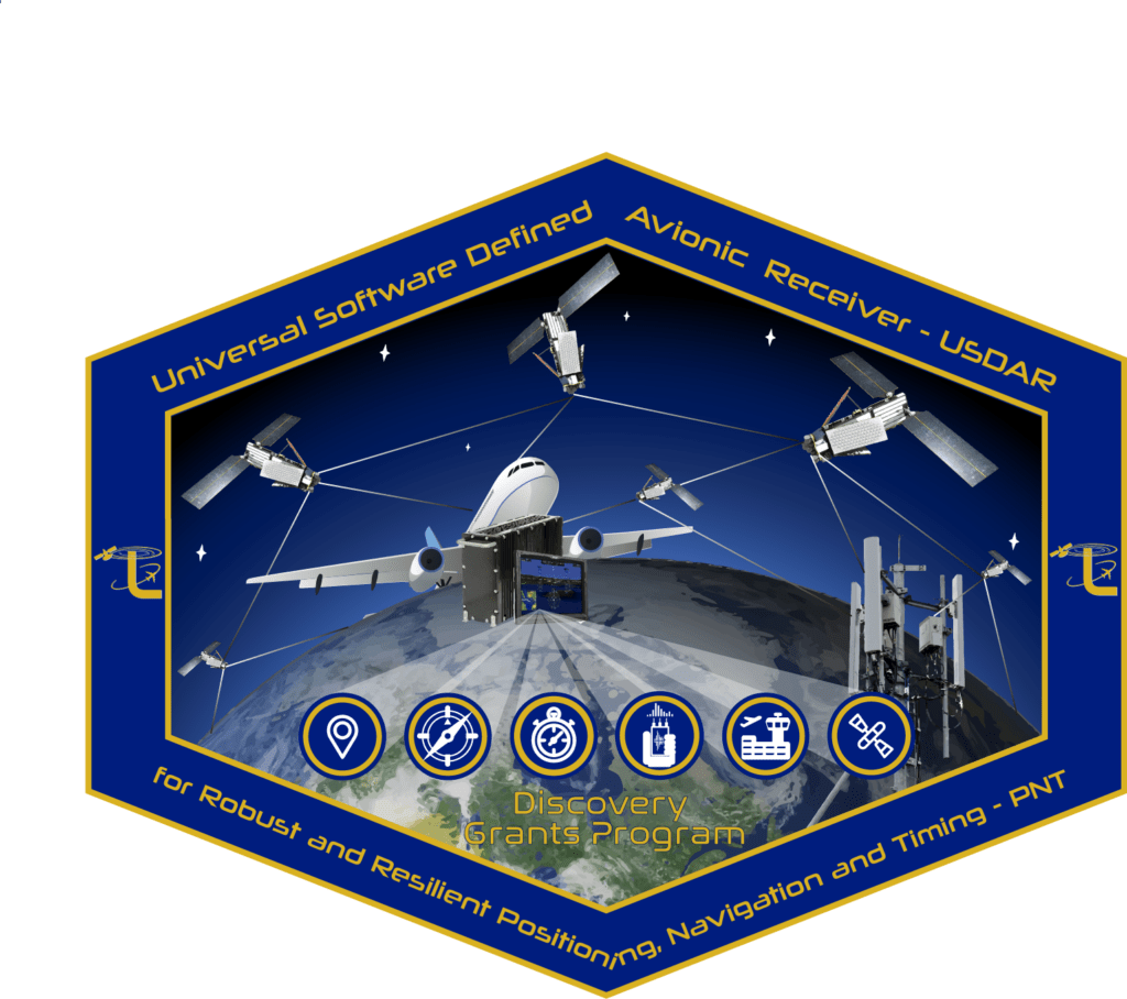
The main objective of this research program is to investigate fusion architecture and new methods for developing a universal Software-Defined Avionic Receiver (SDAR) with robust and resilient positioning, navigation, and timing (PNT) performance, especially in Global Navigation Satellite System (GNSS)-challenged environments and in different airspace classification. The universal receiver will use specific Signals of Opportunity (SoOP) to cover the modernized avionics standard and the future programs related to aircraft and unmanned systems avionics development, which is a new and challenging problem. Selected SoOP will be obtained from not only mature infrastructure such as actual avionics (DME, TMS, ADS-B), television, or cellular network, but also from promising aeronautical pseudolites and other communication systems such as Iridium Next. To enable such new capabilities, the first initiative will focus on proposing a novel architecture for acquiring and tracking both GNSS and selected SoOP signals with new associated metrics. These signals will be treated in a concise, synchronized and standardized avionics framework. The second axis is on advanced digital signal processing algorithms and data fusion methods to extract useful information from SoOP to maintain precise PNT in diverse conditions. Based on SoOP identification and classification algorithms from multi-band sources, novel learning methods and models will be investigated in order to integrate these signals into global avionics software architecture with extended use in different applications such as local based services. As a validation process of the proposed SDAR, the architecture/algorithms will be studied, developed, implemented, and analyzed first in simulation using real recorded RF signals from the proof-of-concept laboratory receiver. Moreover, the research work and outcomes will be tested and validated in a real environment using the developed real-time prototype. The developed universal SDAR investigated by this research will strongly improve the current GNSS receivers and increase their capabilities, while keeping low size, weight, power, and cost (SWaP-C), which results in an effective, optimal, economical and more secure solution. This program will contribute substantially to the science of GNSS and avionic/navigation receiver design, Integrity Monitoring for Safety-of-Life applications and will directly be profitable in numerous fields, such as general aviation, location-based applications and indoor localization. Unmanned systems such as Vertical Take-Off and Landing (VTOL) vehicles in urban environment will also strongly benefit from the research program outcome. This research is intended to be applicable in future avionic systems, especially with the new generation of Integrated Modular Avionics (IMA). This approach will not only ensure compatibility, but also shall improve safety and secured Communication, Navigation and Surveillance (CNS) systems.
Researchers: René Jr Landry
Beginning date: 1 May 2019
Project duration: 5 years
Partners:
Apply now
If you wish to join us in this project click on the button below
Next Generation SDR Avionics for Communication, Navigation and Surveillance

The Next Generation Software Defined Avionics Radio (SDAR) for Communication, Navigation and Surveillance (CNS) project (NextGen SDAR) is to design, develop and integrate Software Defined Avionic modules (SDAM) into a single hardware unit through a robust and optimized architecture. To do that, this project will be based on the major achievements of the previous NSERC AVIO-505 and AVIO-404 projects. In this new project, our collaboration with major avionic manufacturers (Thales, ACSS, SII Canada and Bombardier) aims to elevate and improve SDAR design and integration with readiness for a certifiable solution to the aviation market, while being compatible with modern avionic architectures such as IMA (Integrated Modular Avionics). This new design will cover modernized avionics functions such as VHF Omnidirectional Range (VOR), Instrument Landing System (ILS), Tactical Air Navigation (TACAN), Distance Measuring Equipment (DME), Automatic Dependent Surveillance – Broadcast (ADS-B) In/Out, Transponder Mode-S (TMS), Wide-Band Radio (WBR) and Radio Altimeters, as a critical system for both civilian and military. Fully integrated multimode SDAR with multi-standard RF front-end and novel multiband antenna designs will be completed in a unique integrated avionics network architecture. A large variety of tests including flight tests will be planned and scheduled all over the project for the validation. The challenge is to design the future SDAR architecture that can not only efficiently handle multiple critical functions, but also some advanced features such as signal Integrity Monitoring, authentication algorithms, degradation mitigation and fault tolerant capabilities while keeping minimum Size, Weight, Power and Cost (SWaP-C) requirements. The main outcome of the project is an innovative highly integrated solution for on-board CNS avionics systems that will eventually reduce significantly cables length and the number of components in modern aircrafts. Additionally, it could be easily adapted to cope with potential aeronautical standards changes or to be fitted to Unmanned Aerial Vehicles (UAVs).
Researchers: R. Jr Landry (ÉTS, Lead), J-J Laurin (École Polytechnique de Montréal), F. Nabki (ÉTS), D. Deslandes (ÉTS)
Beginning date: 1 September 2019
Project duration: 4 years
Partners :
Apply now
If you wish to join us in this project click on the button below
R-PNT Project: Resilient Positioning, Navigation & Timing

A new requirement during the last decade is the Positioning, Navigation and Timing (PNT) during military operation and in GNSS-denied environment. In order to improve size, weight and power (SWaP) of equipment, the department of National Defense of Canada is looking for better performance systems with the lowest possible weight, power consumption and critical operational efficiency. When GNSS signal is jammed, PNT alternative solutions are suitable feedbacks, essentially based on inertial sensors and dead reckoning algorithms, as well as the use of Signal of Opportunity (SoOP) when GPS timing and positioning is critical in operational theaters, during targeting, tactical reconnaissance and surveillance, real time tracking of soldiers, etc. A high reliable PNT solution is required to maintain the operation ability of the military forces and the synchronization with the command centers and weapons management systems.
The objective of the project is to provide a complete multi-IMU (Inertial Measurement Unit) solution on the Body-Suit (ibNav Project), a new technological solution with more advanced multisensory integration (accelerometers, gyroscopes, magnetometers, baro-altimeters, heart rate, blood pressure, etc.) and personalized algorithms. Robust data fusion (Kalman filtering based) allows the soldier trajectory to be tracked in real-time with health monitoring data streaming to the commander control terminal. More than inertial sensors, pedometer algorithms, highly accurate motion tracking, and reliable navigation solution are maintained by the use of SoOP in GNSS-denied environments. LEO satellite Doppler-based and carrier phase-based ranges are integrated into the Global-Body-Skeleton Multi IMUs data fusion to compute the total PNT solution requested during critical military missions and operations.
Researchers: René Jr Landry (Lead), Hamza Benzerrouk
Beginning date: 1 September 2018
Project duration: 2 years
Partners:

Apply now
If you wish to join us in this project click on the button below
ibNav Project : Indoor Body Navigation
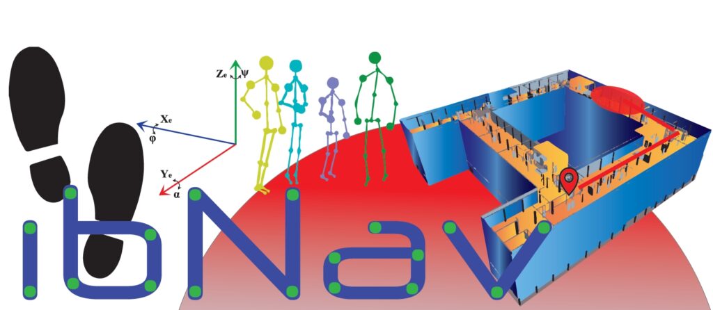
The objective of this project is to provide a modular and lightweight solution for indoor body navigation with the capability of real-time fluid 3D motion capture. The proposed and developed system will have both indoor and outdoor PNT capabilities, as well as accurate limb attitude determination and robust activity recognition. A scalable sensor array and autonomous runtime IMU calibration will be used in the system to improve its performance. The challenges of this project include:
1) operation without external infrastructure; 2) indoor navigation within a 3D virtual environment; 3) portable and low-cost solution; 4) high accuracy navigation over at least 1 hour; 5) navigation error of fewer than 30 meters from last known position, etc. The developed system will have huge potential applications such as multimedia, gaming, health care, training, etc.
Researchers: René Jr Landry, Hamza Benzerrouk
Beginning date: 1 September 2018
Project duration: 2 years
Partners:
Apply now
If you wish to join us in this project click on the button below
![]()